Find Helpful Resources and Tips for Photogrammetry, Drone Mapping and 3D Models

Geospatial Mapping in Drone Software: Navigating the Digital Frontier
Drones have revolutionized the way we capture data and create precise maps of our world. In this article, we'll take a closer look at geospatial mapping and the role it plays in modern drone software.

How Drones and Photogrammetry are Revolutionizing Disaster Relief Efforts
Discover how drones and photogrammetry are reshaping disaster relief efforts. Learn about the benefits of using One3D, a powerful photogrammetry software, to create accurate 3D models for efficient response planning.


The Power of Photogrammetry Data: Insights and Tips
Beyond the stunning 3D models it can create, photogrammetry data holds a treasure trove of insights waiting to be uncovered. Join us as we explore the hidden potential of this data and share some valuable tips for harnessing it effectively.

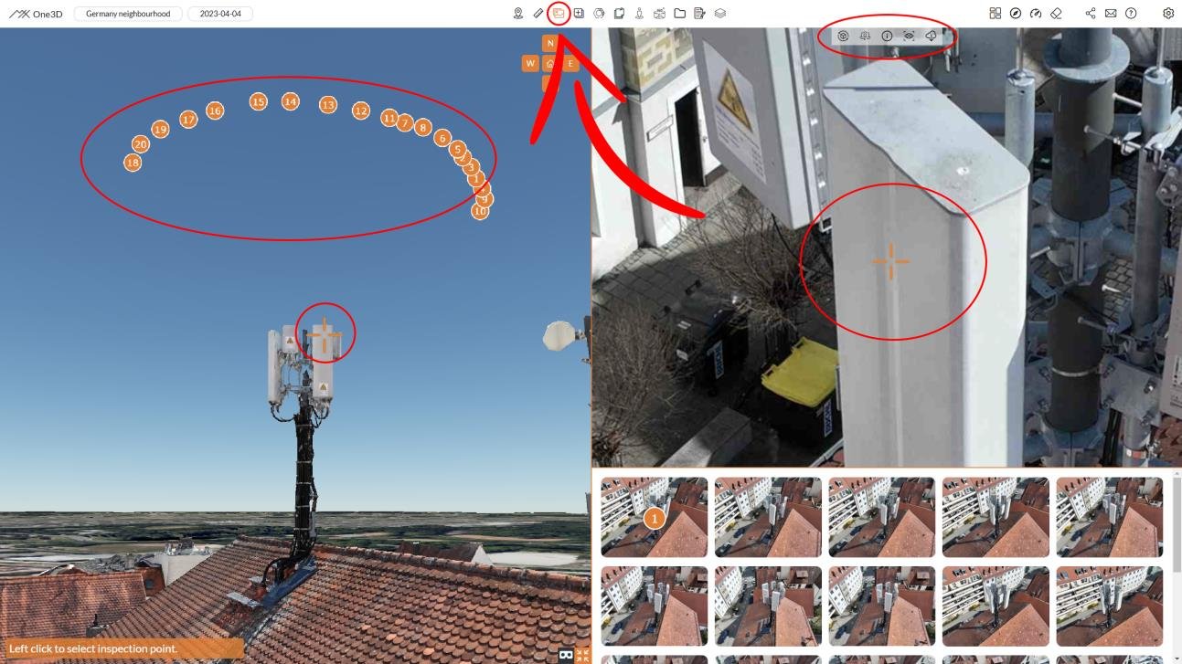
Exploring Unseen with the Images Tool: A User Guide
In the world of digital twinning, it's not just about the 3D models; it's about the wealth of supplementary visuals that provide context and insights. The On-site Images Tool in One3D is your gateway to these hidden treasures.

Preserving the Past: A Comprehensive Guide to 3D Model Rust Analysis
Rust, often called the "silent enemy" of structures and artifacts, can be both fascinating and destructive. In this deep dive, we embark on a comprehensive exploration of 3D model rust analysis and how it plays a pivotal role in preserving our historical and industrial heritage.

Soaring to New Heights: Advanced Mapping Techniques with Drones
In the ever-evolving world of drone mapping, staying ahead of the curve is key. This article dives into advanced mapping techniques that take your drone-powered cartography to the next level.

EXIF: Unveiling Photogrammetry Secrets
In this exploration, we delve into the secrets of EXIF data, discovering how it contributes to the art and science of photogrammetry.

Drone Topographic Survey Software: Elevating Aerial Mapping
In this exploration, we venture into the realm of drone topographic survey software, the tools that are revolutionizing the way we map and understand our environments from above.
Projected Pixel Size: Unlocking Precision in Photogrammetry
Gaining a comprehensive understanding of and mastery over projected pixel size will empower you to craft 3D models that mirror reality with utmost accuracy and detail.

Exploring Drone Mapping Software: A Comprehensive Overview
Modern mapping and surveying drones have emerged as versatile tools that offer unprecedented capabilities.

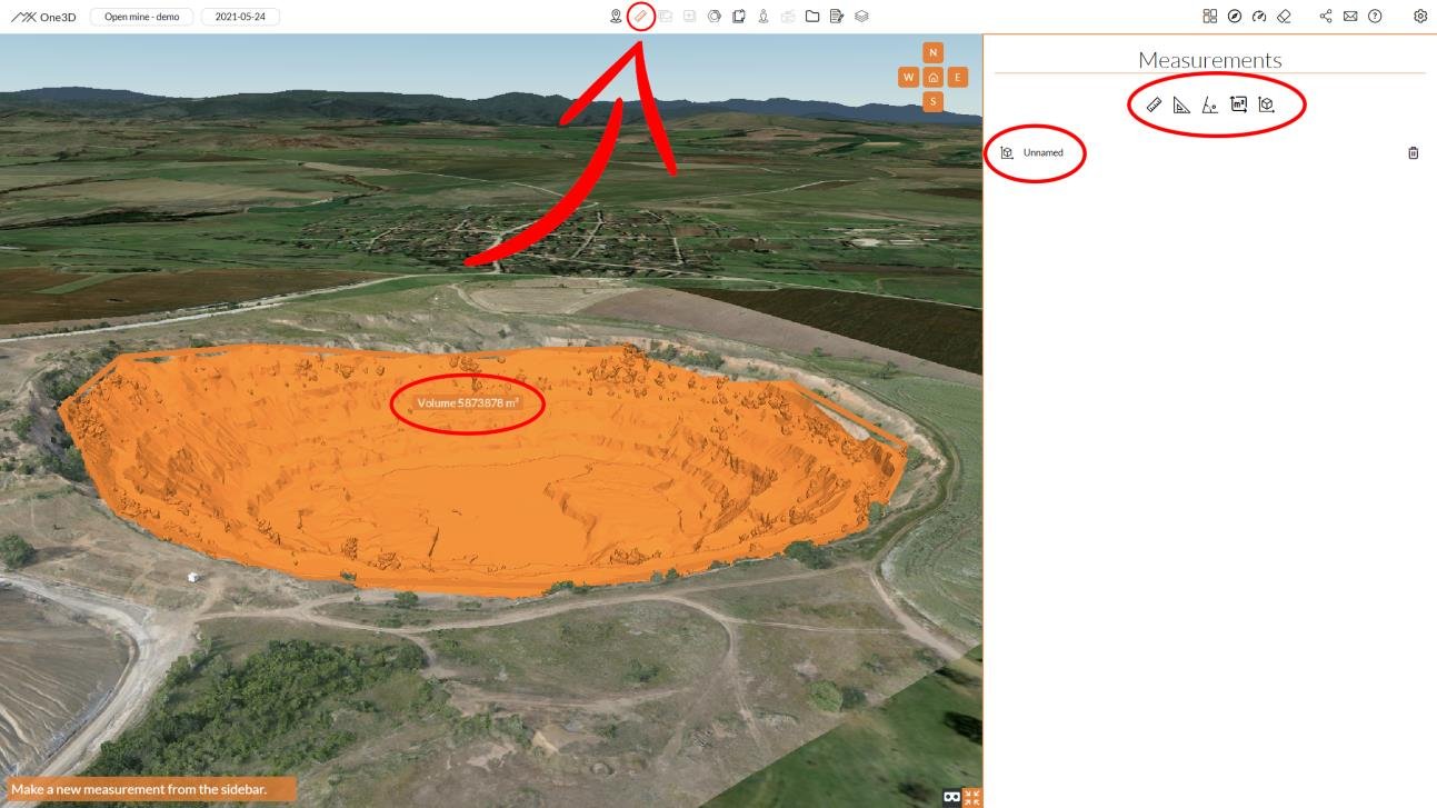
Unleashing Precision: Harnessing Measurement Tools in One3D
This article is your guide to harnessing the power of One3D's measurement tools, enabling you to create precise measurements, angles, areas, and volumes that form the foundation of informed decision-making

Overlap: Elevating 3D Model Quality with Thoughtful Capture
The quality and accuracy of your final 3D model hinge on the data captured during the acquisition process. One key aspect that significantly impacts the outcome is overlap – a fundamental concept that can transform ordinary captures into detailed, immersive representations

What is Drone Photogrammetry Software?
The world of aerial mapping and surveying has witnessed a profound transformation with the integration of drone technology. One of the pivotal components driving this evolution is drone photogrammetry software

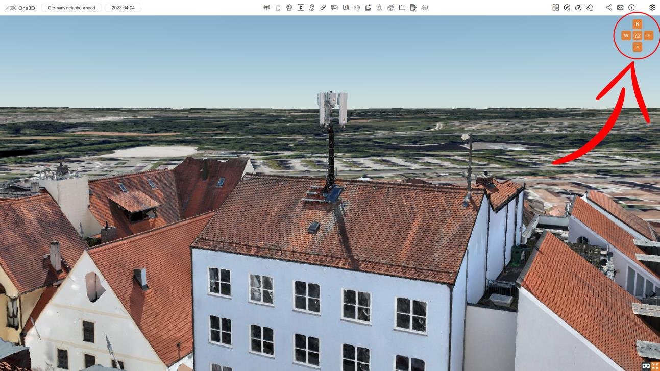
Mastering 3D Space Navigation: A User's Guide
In the dynamic realm of digital technology, the skill of navigating fluidly within a 3D space is an essential tool. Whether you're a seasoned professional or new to the field, becoming proficient in 3D space navigation is crucial for exploring and analyzing intricate models.


